
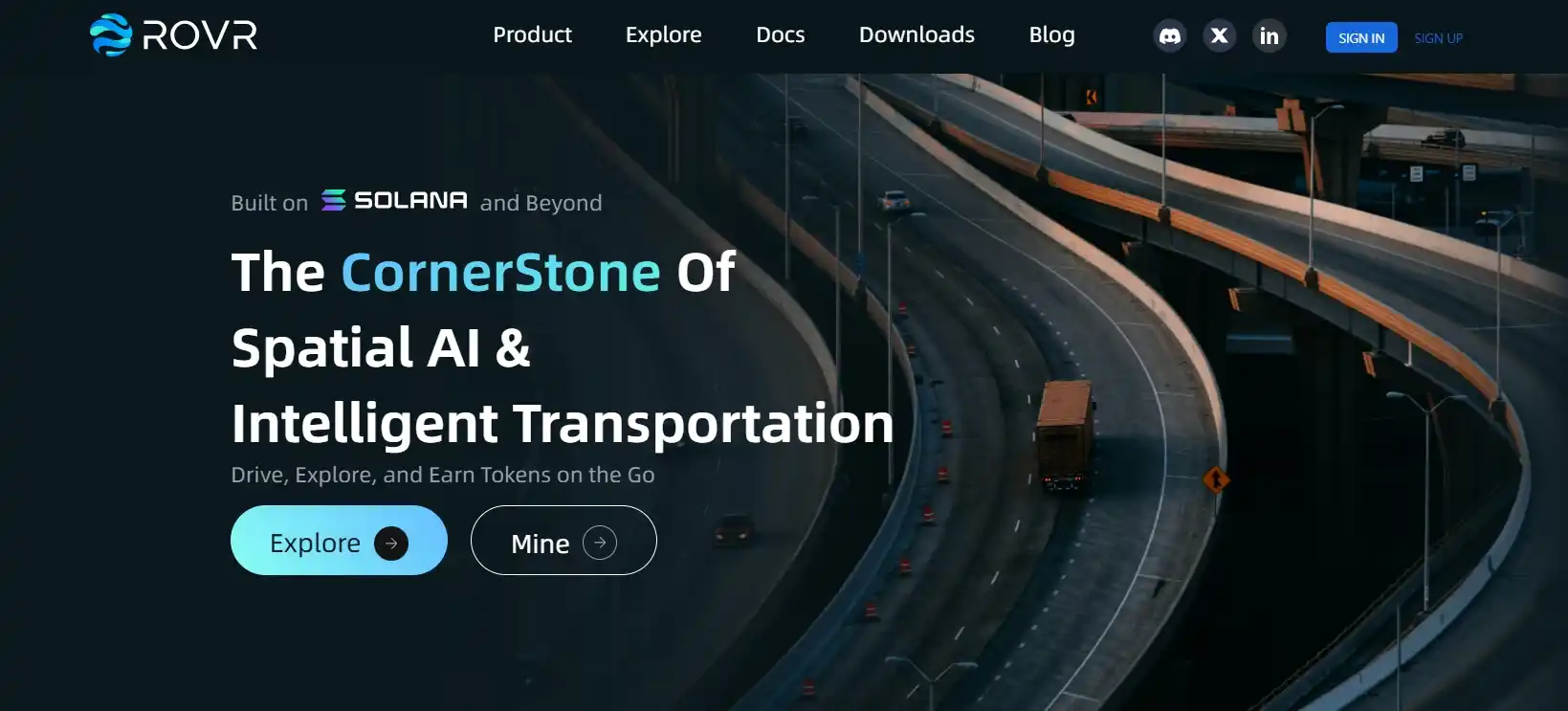
In the era of rapid development of autonomous technologies and Spatial AI, accurate and up-to-date geospatial data becomes critically important. ROVR Network is a decentralized platform designed for the collection, processing, and storage of high-precision 3D data in real time. By leveraging advanced technologies such as LiDAR and RTK, combined with blockchain infrastructure, ROVR aims to build a global network to support autonomous systems and spatial AI applications.
Contents:
- Overview of ROVR Network
- Technological Architecture of the Project
- Tokenomics and $ROVR Mechanisms
- Applications and Prospects
- ROVR Network Partnerships and Funding
- Conclusion
Overview of ROVR Network
ROVR Network is a decentralized platform focused on collecting, processing, and distributing high-precision spatial information in real time. Utilizing cutting-edge technologies such as LiDAR and RTK-GNSS, the project enables the creation of centimeter-accurate 3D maps, which is crucial for autonomous transportation systems and Spatial AI.
Thanks to its DePIN (Decentralized Physical Infrastructure Network) architecture, ROVR Network offers an open and scalable alternative to traditional centralized HD mapping solutions. The platform actively engages the community in data collection, rewarding contributors through the $ROVR token system, fostering a sustainable and fair data economy. The recent $2.6 million raised in a seed funding round highlights growing interest in the project and its potential to transform the spatial data industry.
Technological Architecture of the Project
The technological architecture of ROVR Network is built on a combination of modern hardware and decentralized digital solutions aimed at precise and scalable geospatial data collection. The platform is specifically designed to meet the high demands of industries such as autonomous driving, smart cities, and spatial artificial intelligence. Through integration of reliable sensors and network protocols, ROVR ensures high data accuracy and real-time availability.
Key elements of ROVR Network architecture:
- LiDAR (Light Detection and Ranging): used to generate accurate and detailed high-resolution 3D models of the surrounding environment.
- RTK (Real-Time Kinematic): provides centimeter-level positioning accuracy, essential for applications requiring geometric precision.
- Decentralized participant network: allows any user with supported hardware to contribute to data collection, which is processed in a distributed storage system.
- Blockchain: ensures immutability, reliability, and transparency of all data operations, as well as automatic management of rewards and access rights.
This architecture makes ROVR Network a flexible and reliable platform capable of meeting the growing demand for accurate spatial data across high-tech industries. It not only enhances scalability but also encourages global community involvement in next-generation infrastructure development.
Tokenomics and $ROVR Mechanisms
The tokenomics of ROVR Network revolves around its native token $ROVR, which plays a central role in incentivizing ecosystem participants. Hardware owners who collect and transmit spatial data receive rewards in tokens for their contribution to the network’s development. This model encourages active participation and ensures a continuous influx of high-precision geoinformation.
A unique feature of the economic system is its deflationary mechanism: a portion of tokens is burned during each transaction involving data sales, increasing the long-term value of $ROVR. All transaction data is recorded on the blockchain, ensuring full transparency and trust among participants. This token model supports sustainable project growth while creating a fair economy where rewards directly reflect contributions to the platform.
Applications and Prospects
ROVR Network is actively implementing its technologies across various industries requiring accurate and up-to-date spatial data. Its decentralized architecture and advanced sensors effectively address challenges in autonomous transportation, smart cities, logistics, and environmental monitoring. The table below outlines the key application areas and their prospects.
| Application Area | Description and Prospects |
|---|---|
| Autonomous Transportation | Providing high-precision 3D maps for autonomous vehicle navigation, improving safety and operational efficiency. |
| Smart Cities | Monitoring urban infrastructure, managing traffic, optimizing energy consumption, and improving urban quality of life. |
| Logistics and Delivery | Route optimization, cost reduction, and enhanced accuracy and reliability in logistics operations. |
| Environmental Monitoring | Collecting environmental data, monitoring pollution and natural resources for informed ecological decisions. |
| Geodesy and Cartography | Creating and updating high-precision maps and terrain models for engineering and construction projects. |
Thanks to its flexibility and scalability, ROVR Network continues to expand its areas of application, unlocking new opportunities for integration into various industries. Its technologies foster the development of innovative solutions that improve the efficiency and sustainability of modern systems.
ROVR Network Partnerships and Funding
ROVR Network raised $2.6 million in a seed funding round co-led by Borderless Capital and GEODNET. IoTeX and several angel investors also participated. The funds will be used to scale global operations, deploy hardware, and grow the community for spatial data collection. Additionally, ROVR and GEODNET plan to open a joint office in Silicon Valley, reinforcing their strategic partnership in decentralized geospatial infrastructure. This move highlights ROVR Network’s commitment to building an open, high-precision platform for collecting and processing 3D geodata necessary for autonomous systems and Spatial AI.
Conclusion
ROVR Network is an innovative solution for collecting and distributing high-precision 3D geodata. With advanced technologies, decentralized architecture, and a well-thought-out economic model, the platform holds promise for a wide range of applications, from autonomous transport to Spatial AI. Given its ongoing development and strategic partnerships, ROVR Network is well-positioned to become a key player in the geospatial data space.